 vesseltracker.com
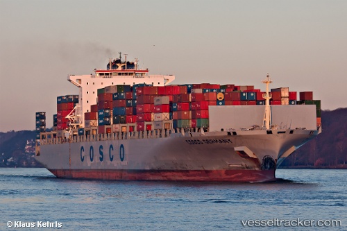
Vessel MSC TIANSHAN IMO: 9305477, MMSI: 636020501 Container Ship
UTC, 1.75352, 83.76055, course: 72, speed: 15.9
UTC, 1.88146, 84.09079, course: 71, speed: 15.9
2026-02-22 17:51:24 UTC, 2.09440, 84.67616, course: 71, speed: 15.9
Live AIS position:
UTC. 267 nm S of Abakaliki),
updated 2026-02-22 17:51:24 UTC.
Find the position of the vessel MSC TIANSHAN on the map. The latter are known coordinates and path.
marine traffic ship tracker show on live map
The current position of vessel MSC TIANSHAN is 2.09440 lat / 84.67616 lng. Updated: 2026-02-22 17:51:24 UTCCurrently sailing under the flag of Liberia
MSC TIANSHAN built in 2006 year
Deadweight:
101532 tDetails:
Last coordinates of the vessel:
UTC, 1.57865, 83.29582, course: 70, speed: 15.8UTC, 1.75352, 83.76055, course: 72, speed: 15.9
UTC, 1.88146, 84.09079, course: 71, speed: 15.9
2026-02-22 17:51:24 UTC, 2.09440, 84.67616, course: 71, speed: 15.9